 vesseltracker.com
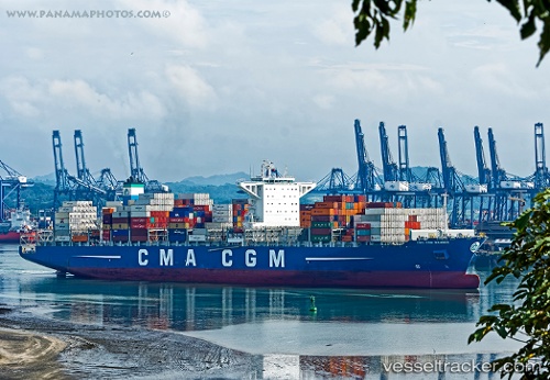
Vessel CMA CGM GANGES IMO: 9718117, MMSI: 256104000 Container Ship
UTC, 35.06628, -122.53586, course: 121, speed: 13.7
UTC, 34.83730, -122.07308, course: 115, speed: 6.3
2026-01-31 17:56:17 UTC, 34.68248, -121.66139, course: 119, speed: 11.7
Live AIS position:
UTC. 53 nm SW of Port San Luis),
updated 2026-01-31 17:56:17 UTC.
Find the position of the vessel CMA CGM GANGES on the map. The latter are known coordinates and path.
marine traffic ship tracker show on live map
The current position of vessel CMA CGM GANGES is 34.68248 lat / -121.66139 lng. Updated: 2026-01-31 17:56:17 UTCCurrently sailing under the flag of Malta
CMA CGM GANGES built in 2015 year
Deadweight:
111034 tDetails:
Last coordinates of the vessel:
UTC, 35.33488, -123.09509, course: 119, speed: 14.1UTC, 35.06628, -122.53586, course: 121, speed: 13.7
UTC, 34.83730, -122.07308, course: 115, speed: 6.3
2026-01-31 17:56:17 UTC, 34.68248, -121.66139, course: 119, speed: 11.7